Riparian Areas Mapping Project
Client The City of Calgary
Location Calgary | Alberta | Canada
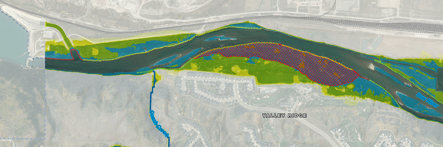
Vegetated riparian areas adjoining streams and rivers are a vital component of the ecological infrastructure of cities and regions. Networks of well-connected riparian areas provide valuable ecological goods and services, including clean water, flood control, bank stabilization, wildlife and fish habitat, recreational opportunities, and cultural and aesthetics services. The City of Calgary is committed to making efforts to incorporate, integrate, and restore riparian areas within an urban context. To support this endeavour, O2 created a set of riparian maps.
A wide variety of spatial data was obtained, explored in detail, and grouped into themes at a scale of 1:7,500 to provide 58 Map Sheets for each of the three separate themes including riparian location and function, land and regulatory issues, and infrastructure.
A core component of the study was a variable width Geographic Information Systems (GIS) model of riparian areas in Calgary to define the most likely extent of both current and historical riparian areas along the major rivers and creeks in Calgary. This model was based on distance from the river, slope profiles from digital models, and field work calibration using riparian plant community locations. A GIS model of The City of Calgary’s Environmental Reserve Setback Policy was also developed.
This study is being taken forward into stakeholder consultations to develop an official riparian area plan and associated policies for future management.

